
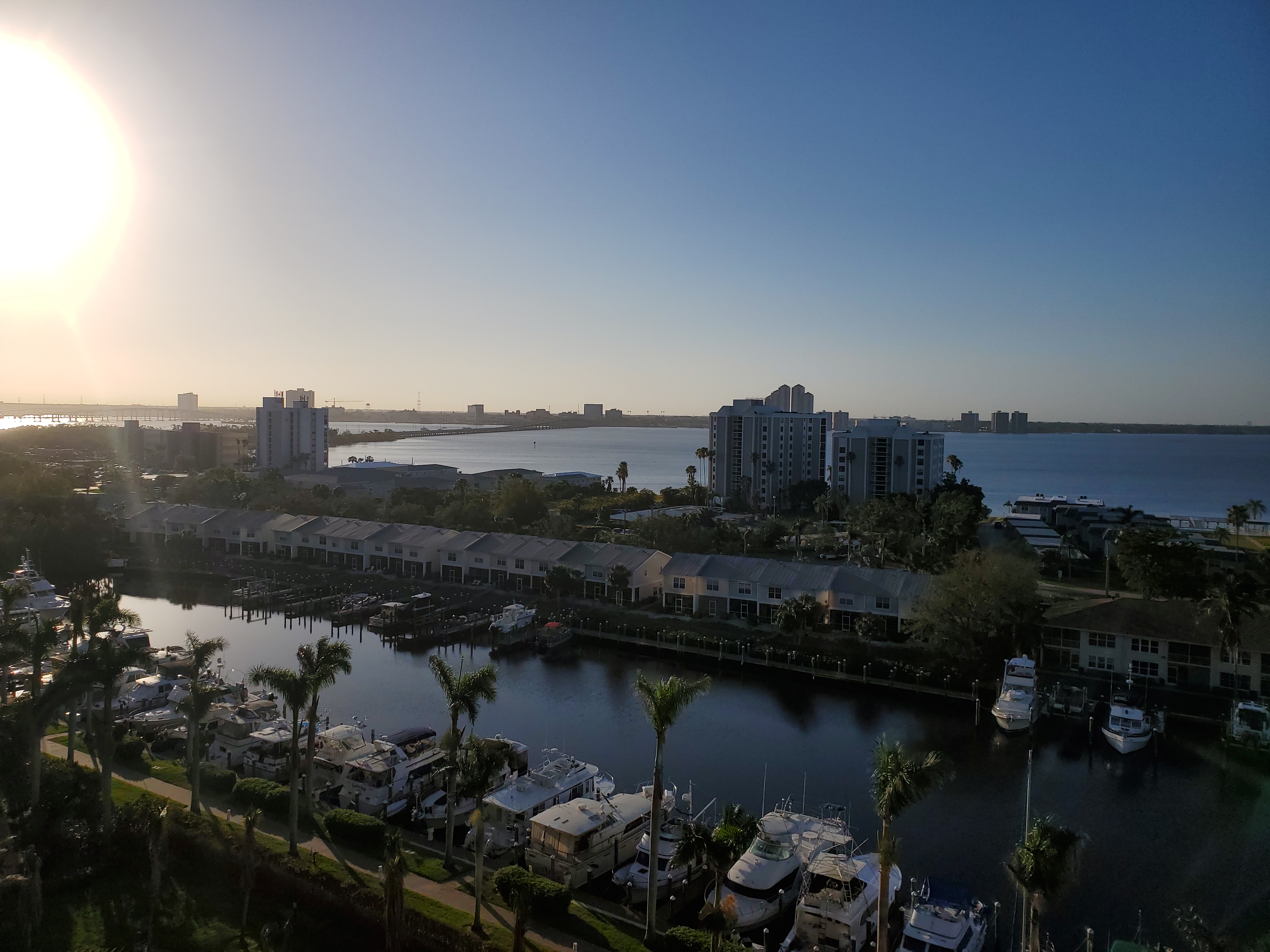
 It would have been a serious mistake due to mechanical issues that developed in the forward bathroom. Fortunately they held off until company left.
Since we were not headed South yet another trip to Little Harbour and Pete's Pub was made and yet again, the food there was terrific. We have yet to find a better fish sandwich anywhere else in the Bahamas. We also made some new friends with home owners there that throw a pot luck dinner on the beach every Monday. That's where the first photo was taken from. Deb made her Grouper Nantua and other folks brought dishes that made for some very good eats at a terrific spot. Not only that we were given directions to a Blue Hole we never would have seen without the help.
 Blue Holes are pools of water that have an underground link to the ocean. In spite of being inland, the water is salt and the fish are indiginous to the ocean and harbours of the area. This blue hole is located along side a road in the Little Harbour area and it is teeming with all sorts of colorful fish. While there was nothing very large, the diversity made it an interesting and worth while hike. Besides on the way back we had a stop at Pete's for an ice cold brew and a sandwich. If you click on the photo you may be able to pick out some of the fish. Without a high end camera with a good lens it's difficult to capture the details. A digital SLR is on my bucket list but with parts for the boat taking priority it will have to wait yet again.
But back on the calm water as pointed out by the second photo, we were able to take the dink out and around the Bight of Old Robinson, over to Lynyard Cay, up to North Bar Channel and back to Little Harbour. Yes, it was that calm on the Southern Sea of Abaco. Even though the water was 30 feet deep in some spots we could clearly see the bottom as though it was within arm's length.
 Returning to Sea Spray at White Sound Elbow Cay we settled into the "monotony" of lunches at places like Sea Spray which by the way has a terrific BBQ buffet night as well as an Asian Night. Both are reasonably priced and the food is very good. The list of additional establishments we frequented ran a list that included Firefly, Lubber's Landing, On Da Beach and Cracker P's and finally Nippers. I have to admit the beach view from Nippers is one of the best the Bahamas has to offer.
And with that, company had to leave and we were free to pursue our travels South. And the weather turned, the mechanicals started acting up and the delays set in. So we'll put things back together and wait for a decent window South. The Google Earth tracks for the month have been loaded up and are under the blog heading Ships Log GPS data The 2014 Voyage and when clicked will load up Google Earth and display the paths.
No comments:
Post a Comment